Axis & Allies .org Forums
    • Home
    • Categories
    • Recent
    • Popular
    • Users
    • Register
    • Login
    1. Home
    2. gsh34
    3. Posts
    • Profile
    • Following 0
    • Followers 0
    • Topics 20
    • Posts 652
    • Best 2
    • Controversial 0
    • Groups 0

    Posts made by gsh34

    • RE: Finally, I have my map printed! Oh, yea!!!

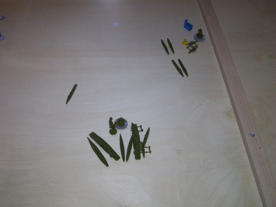
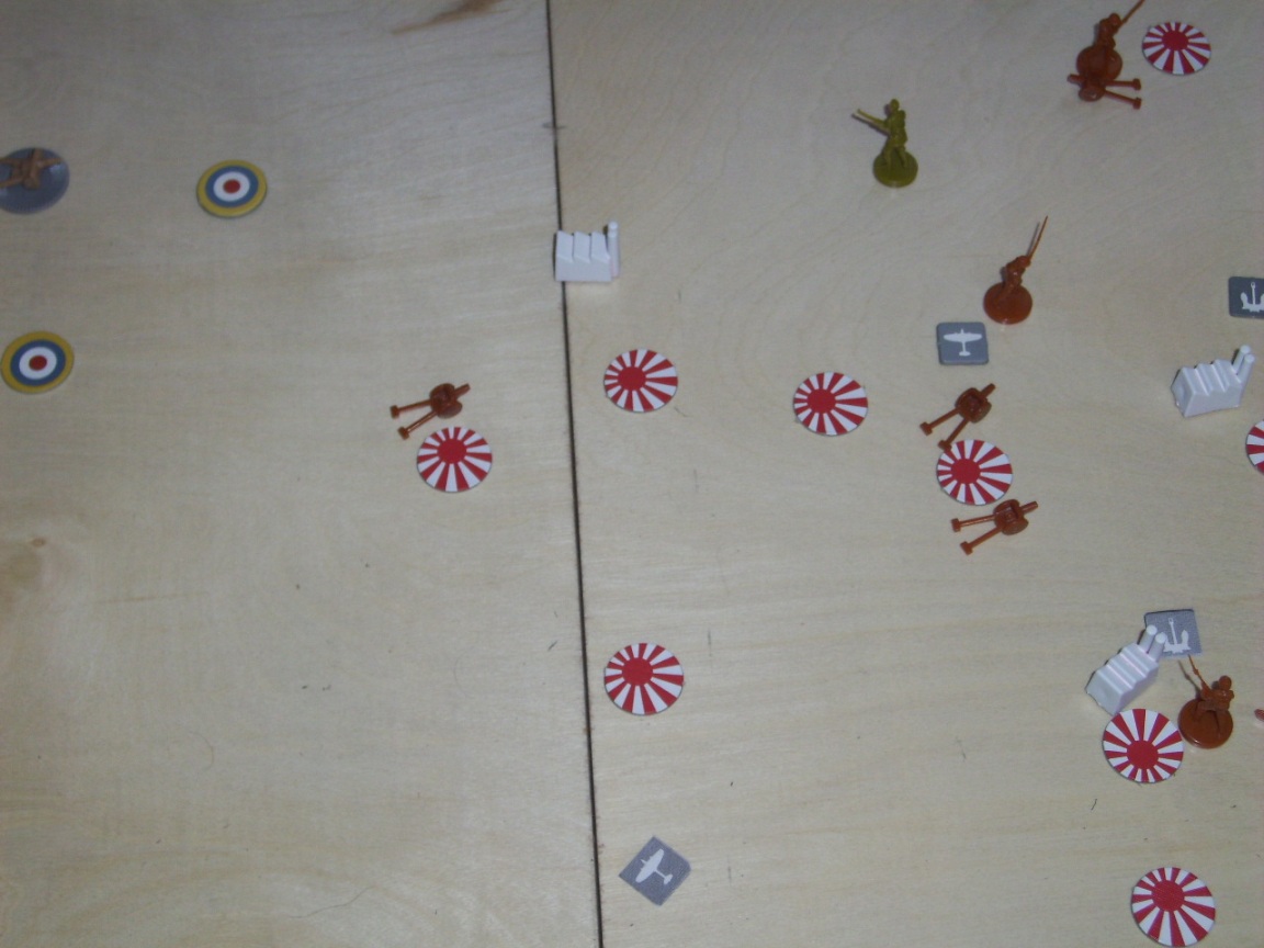
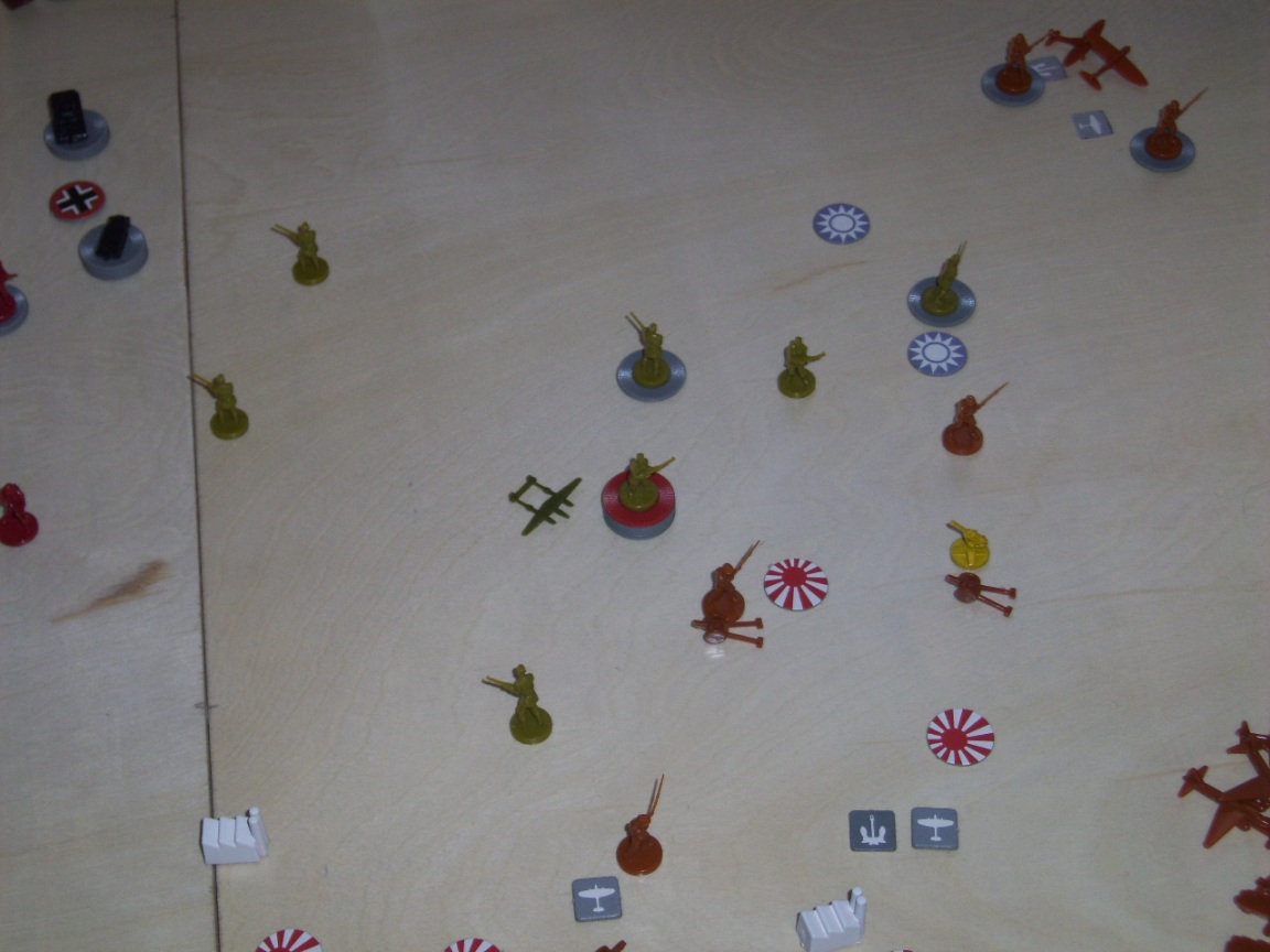
      Ok, so I finally have everything magnetized.  Chips, country markers, air bases, naval bases, industrial complexes, factories, units…everything.  All together I used about 1600-1700 magnets.  Phew!!!  I don’t have the metal sheet mounted onto the plywood yet, but I set up the Alpha +.2 anyways to see how it looked.  Have a peek…

      If you are wondering about that stack in Spain, I did that just to show the holding power of the magnets.  It is a stack of 35 infantry.  If you are wondering about the magnets, I used 1/4 inch wide x 1/32 inch thick neodymium magnet and epoxy glued them to the chips after using sand paper to roughen up one side of the chip and one side of the magnet.  Also, I would like to note with the board increased in size to 84" x 38.5", everything fits pretty easily onto the board.  No more units spilling over into other territories.  Yay!

      100_3555.JPG

      posted in Axis & Allies Global 1940
      gsh34G
      gsh34
    • RE: So, you think you are good at figuring out who is ahead in a game?

      So, given all the available information, who’s winning? :evil:

      posted in Axis & Allies Global 1940
      gsh34G
      gsh34
    • RE: So, you think you are good at figuring out who is ahead in a game?

      Piddling Americans of the Pacific.

      100_3230.JPG

      posted in Axis & Allies Global 1940
      gsh34G
      gsh34
    • RE: So, you think you are good at figuring out who is ahead in a game?

      Japanese fleet is in the Philippines (no seriously, they really are.  I swear!) and US in Hawaii.

      100_3228.JPG

      posted in Axis & Allies Global 1940
      gsh34G
      gsh34
    • RE: So, you think you are good at figuring out who is ahead in a game?

      Australia region….

      100_3227.JPG

      posted in Axis & Allies Global 1940
      gsh34G
      gsh34
    • RE: So, you think you are good at figuring out who is ahead in a game?

      India area….

      100_3226.JPG

      posted in Axis & Allies Global 1940
      gsh34G
      gsh34
    • RE: So, you think you are good at figuring out who is ahead in a game?

      China-ish area…

      100_3225.JPG

      posted in Axis & Allies Global 1940
      gsh34G
      gsh34
    • RE: So, you think you are good at figuring out who is ahead in a game?

      …the Russian front.  Note:  blue chips represent ten.

      100_3224.JPG

      posted in Axis & Allies Global 1940
      gsh34G
      gsh34
    • RE: So, you think you are good at figuring out who is ahead in a game?

      Here is a picture of the Med. and N. Africa.

      100_3223.JPG

      posted in Axis & Allies Global 1940
      gsh34G
      gsh34
    • So, you think you are good at figuring out who is ahead in a game?

      Ha, ha, ha.  I was downloading some pics off of my camera and came across this from when I started to make my “Ultimate map (officially canceled by Wizards)”.  I had a sheet of plexiglass over my boards, so I was able to slide them out in the middle of a game so I could cut them up for the scanning.  See if you can determine who is winning the game???

      This is a picture of the Europe part of the map.  The blue factories are majors and the whites are minors.  For the most part, you can ignore where the naval and air base icons are.  I had printed them off and placed them under the plexiglass but they moved all over the place when removing the boards.
      100_3222.JPG

      posted in Axis & Allies Global 1940
      gsh34G
      gsh34
    • RE: Finally, I have my map printed! Oh, yea!!!

      @Robbernosky:

      Sooo, how much?

      Too much time and money.  I’ll leave it at that.

      posted in Axis & Allies Global 1940
      gsh34G
      gsh34
    • RE: Finally, I have my map printed! Oh, yea!!!

      @Shakespeare:

      The new descriptions and
      “signage”  you added to the map all
      seem to be the same font as the original map.

      What is the name of the font and where did you get that font?

      I have no idea what the font is.  I spent about two hours doing a ‘font search’ trying to find out what front the territory names were and never found out.  I ended up coping good letters on the board and replacing the ones found in the creases with them.  This took a fair amount of work for some areas (German territories in particular).

      Now, when you talk about “signage”, are you referring to the “Adjacent to….” text I placed at the map edges?  If so, that was simply a font that came preloaded in Photoshop.  I just outlined it in black and made it semi-transparent.

      posted in Axis & Allies Global 1940
      gsh34G
      gsh34
    • RE: Finally, I have my map printed! Oh, yea!!!

      @Hellmutt:

      @knp7765:

      ……The reason I ask is that some other members have made up maps for free download…

      Could you point me in the direction of those down-loadable maps??

      I think if you look at the bottom of Imperious Leaders posts, he has a sticky that points to the maps he does.  Those are the only ones I know of off the top of my head that are free downloads.

      posted in Axis & Allies Global 1940
      gsh34G
      gsh34
    • RE: Finally, I have my map printed! Oh, yea!!!

      @knp7765:

      I am curious as to how you got such a huge map printed out.  I understand scanning the sections of the original and using photoshop to sort of blend them back together.  Once you had the map finished, did you save it to something like a flash drive and take that to some professional printers that can handle printing really big stuff?  I am assuming that at home you have a regular printer like the rest of us (8 1/2 X 11).
      The reason I ask is that some other members have made up maps for free download but I couldn’t figure out how I would get them printed.  After all, who wants a map that is a bunch of 8 1/2 X 11 sheets?

      Yes, I went to a professional printer.  One that deals in signage to be specific.  If you are curious about how I did it, PM me and I will give you all the pertinent information.

      posted in Axis & Allies Global 1940
      gsh34G
      gsh34
    • RE: Finally, I have my map printed! Oh, yea!!!

      @Stefano1189:

      Beautiful Map! Can i download it from any site?

      No, there is no place to download it.  I had asked Wizards of the Coast for copyright approval to allow the file to be shared/downloaded and received a terse reply stating in no terms may I share this with another person.  Sorry.

      posted in Axis & Allies Global 1940
      gsh34G
      gsh34
    • RE: AWWWW YEAHHHH!!!

      @Buck:

      Just got mine as well! Played 2 games and so far I’m 0 for 2 Axis. I’m playing the OOB rules till an official printed update in released.

      Oh, and this is my first post on this site. Nice to meet you all :-D

      Buck, I just want to remind you that there is no fighting in the war room.  You got that?  :wink:

      posted in Axis & Allies Global 1940
      gsh34G
      gsh34
    • RE: Finally, I have my map printed! Oh, yea!!!

      @knp7765:

      Not sure about the magnetized pieces concept.  While I’m sure it would be a great space saver, magnetizing all your pieces plus chips could get kind of pricy.

      That is an accurate statement you made.  This whole project has been more time intensive and more expensive than I would really care for.

      posted in Axis & Allies Global 1940
      gsh34G
      gsh34
    • RE: Finally, I have my map printed! Oh, yea!!!

      @knp7765:

      The only thing I don’t care for, and it’s not because I think it’s bad but rather simply unnecessary, is your SZ 128 (the Caspian Sea, right?).  It’s basically a non-space like the Himalayas or the Pripet Marshes.  I guess it adds a little extra flavor to an already brilliant project, I just wouldn’t have spent the time on it.
      GREAT JOB!!

      Thank you for the complements.  Just to let you know, I added sz 128 to the Caspian Sea because it is a legitimate sea zone.  It shortens air movement through that part of the map.  It is in the errata.

      posted in Axis & Allies Global 1940
      gsh34G
      gsh34
    • RE: Finally, I have my map printed! Oh, yea!!!

      I corrected both borders for sea zone 6. They now properly meet at Korea/Amur and at Korea/Manchuria.

      10.jpg

      posted in Axis & Allies Global 1940
      gsh34G
      gsh34
    • RE: Finally, I have my map printed! Oh, yea!!!

      Sea Zone 128 appears for the first time!!!

      9.jpg

      posted in Axis & Allies Global 1940
      gsh34G
      gsh34
    • 1 / 1