So I’m running into some difficulty, and I’m open to advice. At this point the map file is a .png file, as required for the TripleA map editor utilities; it’s not a vector file. That means that I can’t easily expand the size of the map (in pixels) while keeping the borders one-pixel wide, as required by the utilities.
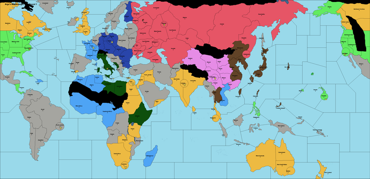
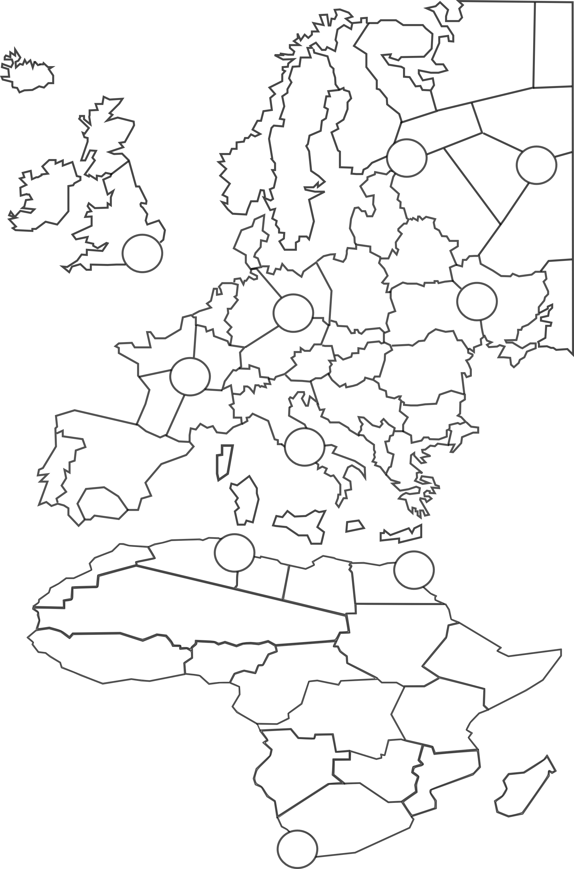
Unfortunately, many of the smaller territories are not wide enough to accommodate even one or two unit types – the units are 35 pixels wide, so even though the map as a whole is several thousand pixels wide, smaller territories like Greece, Malta, Denmark, Kiev, etc. are just not capable of displaying a mixed army without spilling over way into other territories in a horrible mess. It’s not just one or two territories, and if I merged all of the smaller territories then this map would no longer faithfully represent my vision.
How have other map designers tackled this problem? Anyone have any creative ideas? I could start from scratch with a new vector file, but I would lose dozens of hours of work, even if I used this map as sort of a sketch to guide me.