


Actually quite smart.
So, you think you are good at figuring out who is ahead in a game?
-
Ha, ha, ha. I was downloading some pics off of my camera and came across this from when I started to make my “Ultimate map (officially canceled by Wizards)”. I had a sheet of plexiglass over my boards, so I was able to slide them out in the middle of a game so I could cut them up for the scanning. See if you can determine who is winning the game???
This is a picture of the Europe part of the map. The blue factories are majors and the whites are minors. For the most part, you can ignore where the naval and air base icons are. I had printed them off and placed them under the plexiglass but they moved all over the place when removing the boards.

-
Here is a picture of the Med. and N. Africa.

-
…the Russian front. Note: blue chips represent ten.

-
China-ish area…
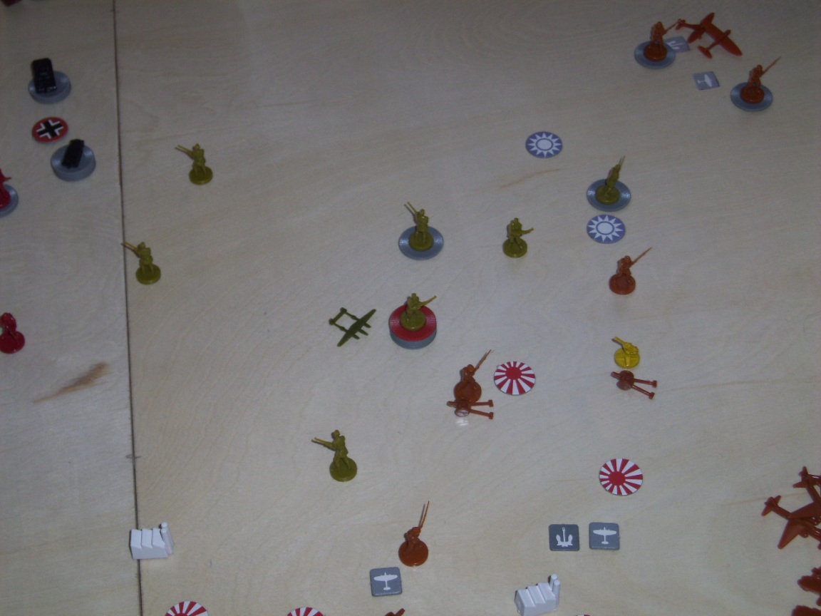
-
India area….
-
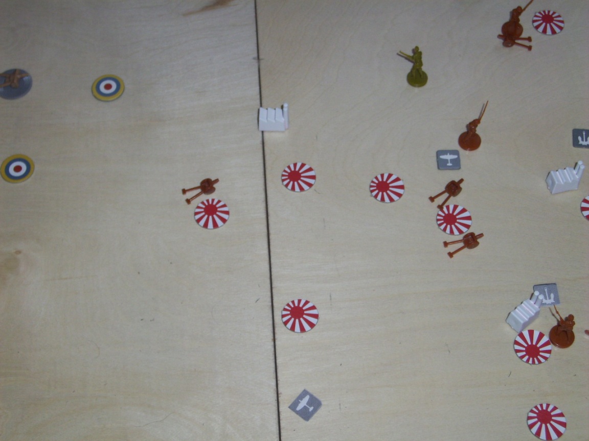
Australia region….

-
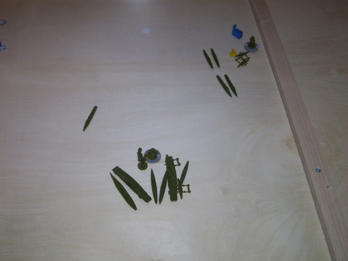
Japanese fleet is in the Philippines (no seriously, they really are. I swear!) and US in Hawaii.

-
Piddling Americans of the Pacific.
-
So, given all the available information, who’s winning? :evil:
-
Allies! The med is packed with allied ships. The german land forces look a little thin. The russians look like they are doing pretty well too.
-
i’d say allies too.
Waw, even a french fighter left?
-
I think the Axis look strong.
Japan looks to have a good grip of India, and while there’s many Chinese left, you can see that Germany and Japan is close to linking up.So even though Germany looks thin in Europe and have lost the Med. - and even though Russia looks to have many troops left, Russia is all but surrounded by Germany/Italy. So if you can prevent reinforcement into Russia, it looks like Axis can pull this off.
Suggested Topics

