


Not you but a message to others. I can’t release versions of maps that can be edited/stripped of whatever. Too many people selling on ebay these things and shouldn’t.
The American Front: An Alternate History Map For A&A 1914
-
What ever happened to this? An idea like this doesn’t deserve to be forgotten or abandoned. Was it moved to another thread? It has some great potential.
-
After a bit of a hiatus, I’m restarting this project. Below are some initial thoughts on Victory Cities, additional rules, etc. Once I get these nailed down, I’ll begin work on the map for the game. Please let me know your thoughts and I’ll do my best to incorporate them!
Possible Victory Cities:
United States of America
Washington D.C.
Philadelphia
New York
Boston
Chicago
Detroit
Denver
San Francisco
Seattle
ClevelandConfederate States of America
Richmond
Atlanta
Birmingham
Louisville
Charleston
New Orleans
Nashville
Chihuahua
Guaymas
HoustonDominion of Canada
Toronto
Quebec City
Montreal
Winnipeg
Vancouver
OttawaVictory Condition:
Must control 6/10 of the victory cities in the USA or CSA, 4/6 cities in Canada.Uprisings
The Uprisings Track controls when uprisings occur in the CSA (black socialist uprising) and the USA (Mormon rebellion). Each turn, roll a die and advance the marker by the number on the die if a 3 or less is rolled. Ignore values above 3.
Enemy nations may also contribute to advancing the track by contributing 5 IPC’s per space moved on the track. Only 5 IPC’s may be given by each player per turn. This represents smuggling weapons to the rebels and attempting to provoke an uprising. Any IPC’s contributed stay in that rebellion’s pool until the rebellion occurs.
When the marker on the track reaches X, wait until the start of the next turn and spend any IPC’s in the pool, as well as the IPC value(s) of the rebellion area(s) on land units and place them within the rebellion area(s).
Rebellion Areas:
Black Socialist Uprising (Use Russia pieces)- South Carolina (Congaree Socialist Republic)
- Georgia (Black Belt Socialist Republic)
Mormon Rebellion (use Austria Hungary pieces)
- Utah (Deseret)
The rebellions become separate factions controlled by the enemy player, and collect an IPC income as long as they exist.
Initial Thoughts
So my thought on the map design is to have territories that will be for the most part the same as state lines on the map, with a few exceptions. For example, I will probably make a territory called “Upstate NY” and one called “NY City”, to avoid Canada taking one of the most highly populated cities in the U.S. in one move. There a couple examples of this.
There was some discussion when the project started as to which pieces to use for which nation, and I think I’m going with:
USA - U.S. Pieces
CSA - British Pieces
Canada - Italy Pieces (The look is right and Canada is sort of a “Minor Nation” in this game)
Black Socialist Uprising - Russia Pieces
Mormon Rebellion - Austria-Hungary Pieces
Quebec (if I ever implement it) - French PiecesIn general, the USA is going to be more economically powerful than the CSA, but of course they have to fight the war on two fronts.
I want to possibly do National Objectives for things like blockades and cutting the East-West Rail lines, I’ll have to think about this though.
I’ll most likely suggest using the new “potential rules” posted in the 1914 forum for movement, etc.
-
Any news about this potential game?
It sounds fantastic!
How far is the mapstyling in progress?
-
Just discovered the game “Mason-Dixon: The second american civil war”.
with its 1917 scenario it sounds familiar to your project:
http://boardgamegeek.com/boardgame/7978/mason-dixon-the-second-american-civil-war
Here´s the map:
http://boardgamegeek.com/image/332811/mason-dixon-the-second-american-civil-war
Maybe it contains some interesting or helpful thoughts that could be used for your A&A variant.
-
Chacmool,
Thanks for your interest. This is one of those projects I come back to every now and then and chip away at. I’m quite happy with how the map is coming so far, maybe I can post some screenshots within the next week or so.One of the problems I’m running into with designing the map and setup is that the base 1914 game came so few pieces ( :-o Shocker, I know! :roll:), so I might just have to go into this with the assumption that players have either received additional pieces from WOTC or can substitute from other games.
-
Here are some early screenshots of how I’m designing the map.
I’m doing my best to mimic the textures and styles of the OOB 1914 map. The red circles you see in the first pic represent the unit chips, so that’ll give you an idea of scale. I think right now the map is looking like it’s going to be 48"x36", just showing North America.
As always, I welcome any input/suggestions.


-
Looks great ! I cant wait to see the whole map (will it include also Western USA?)
How Do you do make those textures and styles of the OOB map?
I have a (german) map of the OOB (except I made Switzerland and Western Germany larger)
Would be cool it If you could help me a little bit with the design…
Glad you like it! Yes, it’ll be the entire US, with part of Mexico and Canada shown as well.
So I’m actually using AutoCAD to do the design, but I’m sure you could accomplish similar results with a program that’s not $1000 per copy…
I found some hi-res marble textures for the territories and colorized them to match the OOB board colors. I might be able to post the images here or host them elsewhere and link to them, let me look into that.
Once I have the textures how I like them, I “hatch” or fill in the borders with the texture. The trick is to scale the texture so that it doesn’t tile.
-
wow… I am a design-noob and only have Microsoft paint :-)
Could you post the whole map when its finished??
-
I definitely will. Here’s an in-progress preview. It’s a rather large file, so I’ve made it public on my Google Drive. Let me know if you can’t access it.
https://drive.google.com/file/d/0B7x1PKfqsr0lQ1VYVXdVdk1jZnc/edit?usp=sharing
I’m still working out some of the colors, and some of the roundel blocks look rough to me close up, but this is the general feel I’m going for.
-
The map looks awesome so far!!!
I will print this baby as soon as its done! :-)
-
About time you got around to this, I was actually looking up mapping programs so that I could do it myself if you didn’t lol.
-
About time you got around to this, I was actually looking up mapping programs so that I could do it myself if you didn’t lol.
Alright, you’ve inspired me to finish this! I’m going to try and get it knocked out by this time next month. :-D
-
Hello ossel,
I just got done reading the Wikipedia page on the Southern Victory alternate history. It was fascinating. Looks like the CSA sort of took the place of Nazi Germany. It seemed to me like the alternate WW2 consisted of the CSA, Russia, England and France as sort of the Axis, USA, Germany and Austria/Hungary as sort of the Allies, with Japan as a third party. Japan had clashes with the US, but also apparently threatened British possessions in the Pacific.
Overall, it seemed like almost a reversal of both WW1 and WW2. A very interesting story. I love alternate timeline scenarios. I would have liked to find out more about the Japanese position in the far east. There was mention of the US attacking Midway and Wake islands to find the Japanese simply left before they got there. Also that Japan had “influence” with the Nationalist government in China. Did that mean they were allies? Guess I would have to get into the actual novels for more info there. Still, overall a fascinating read.
So your map would be for WW1? Once it is completed, do you have any plans on making one for the WW2 scenarios? -
Hello ossel,
I just got done reading the Wikipedia page on the Southern Victory alternate history. It was fascinating. Looks like the CSA sort of took the place of Nazi Germany. It seemed to me like the alternate WW2 consisted of the CSA, Russia, England and France as sort of the Axis, USA, Germany and Austria/Hungary as sort of the Allies, with Japan as a third party. Japan had clashes with the US, but also apparently threatened British possessions in the Pacific.
Overall, it seemed like almost a reversal of both WW1 and WW2. A very interesting story. I love alternate timeline scenarios. I would have liked to find out more about the Japanese position in the far east. There was mention of the US attacking Midway and Wake islands to find the Japanese simply left before they got there. Also that Japan had “influence” with the Nationalist government in China. Did that mean they were allies? Guess I would have to get into the actual novels for more info there. Still, overall a fascinating read.
So your map would be for WW1? Once it is completed, do you have any plans on making one for the WW2 scenarios?Yes, the story is very interesting, though admittedly long. There are 11 full-length books in the series, so good luck if you embark on reading them!
I do intend to make a WW2 map, but I haven’t put much thought into which pieces would represent which side, etc. After all, as you’ve pointed out, the Confederates became Fascists in the alternate timeline, and the North pretty much became socialists! Making a WW2 scenario is definitely in the cards though, and the effort would be fairly minimal once the WWI map is complete.
-
For those of you that have been following this, I’ll post the National Objectives I’ve thought up so far. As always, feedback and suggestions are welcome.
National Objectives
Cut the Line:
If the United States controls any of the Confederate territories bordering Mexico (Texas, Chihuahua, or Guaymas), the East-West Railroad is considered cut, and the CSA cannot recruit troops in cities west of the captured territory.De Jure and De Facto:
If the Confederate States captures Washington D.C., it receives a one-time award of 10 IPC’s.If the CSA captures both Washington D.C. and Philadelphia, it receives all of the IPC’s in the United States’ bank, and the U.S. economy henceforth functions as two nations: Eastern U.S. and Western U.S. (similar to the U.K. in A&A Global 1940). The two “nations” may only earn IPC’s from their own territories and may only place units in Victory Cities within their own territories. If either Washington D.C. or Philadelphia is recaptured, this restriction ends and the economies are recombined.
Blockade:
Blockades work in much the same way as “Convoy Disruptions” in A&A Global 1940.Each enemy surface warship in a sea zone adjacent to one of your territories causes the loss of one IPC from your income for the turn. Each submarine is considered “On Station” and causes the loss of 2 IPCs. However, each sea zone can’t lose more IPCs than the total IPC value of controlled territories adjacent to the sea zone.
-
Ossel,
Do you have your own version of the OOB map for A&A 1914, with corrected map flaws?
-
Ossel,
Do you have your own version of the OOB map for A&A 1914, with corrected map flaws?
I have started on one, using similar textures, etc. as the one I’m making for American Front. It honestly hasn’t been a priority for me and it’s not as far along as this one. That’s certainly something I can work on in the future though. Was there ever consensus on what exactly needed to be changed?
-
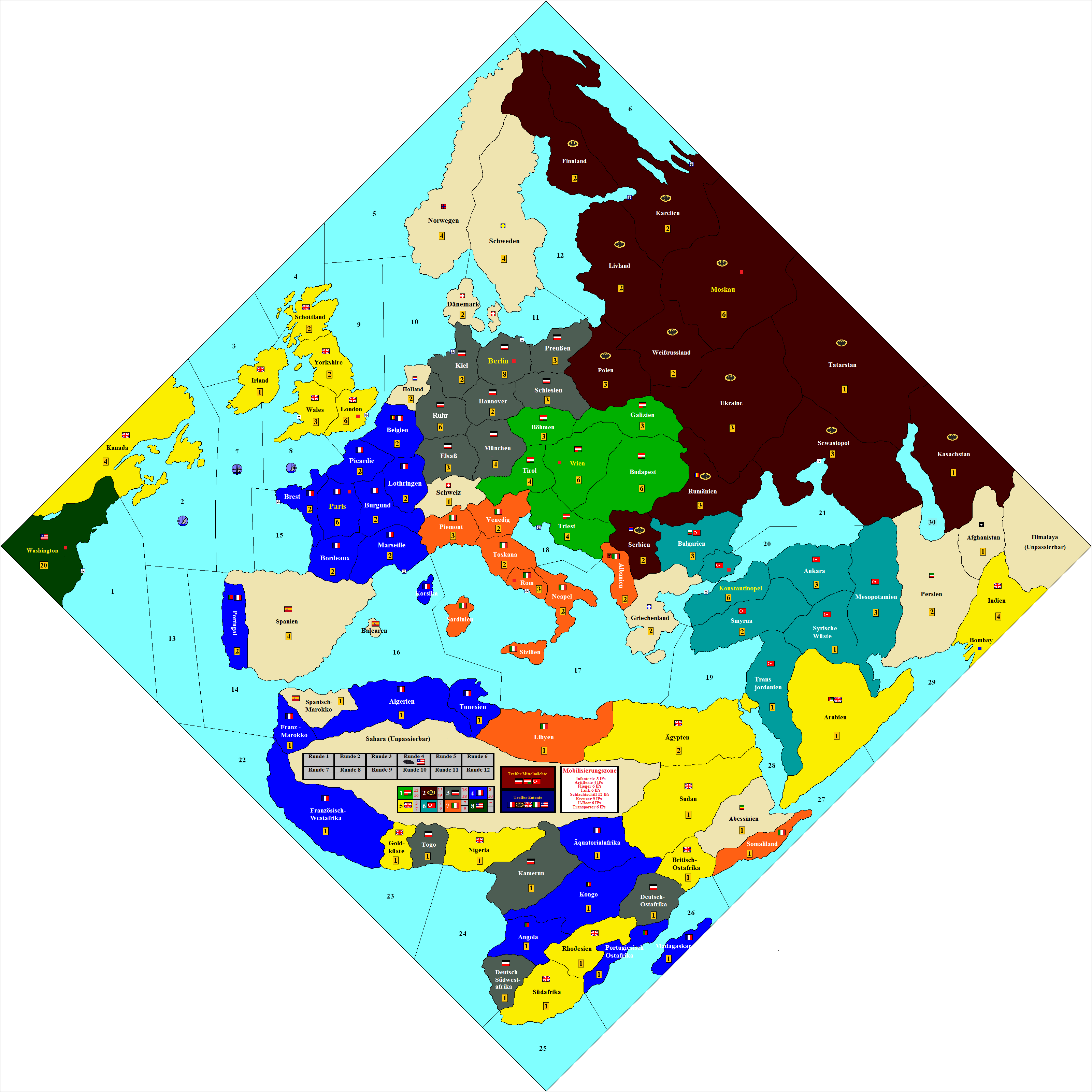
Well, for starters, Bulgaria needs an Aegean coastline, Poland no coastline, and some re-configuring of Russian territory to reflect St. Petersburg.
I can add this to your linked post talking about a revised WWI map (thus bumping it). Others have worked on versions of a WWI map, but you can never have too many! Some prefer a global scale; I was fine with the area A&A 1914 portrayed, as this was where the majority of the fighting took place. The only battles outside that scope were largely naval ones, a skirmish in New Guinea, and the siege at Tsingtao (though these intensely interest me and have for nearly two decades). The benefit of a global map is that you can use it for circa 1900 Great Power scenarios.
-
Once it is completed, do you have any plans on making one for the WW2 scenarios?
So I had a thought on which units to use for WWII Confederates. I really like the ANZAC grey units from HBG: http://www.historicalboardgaming.com/HBG-Battle-Pieces–Allies-Supplement-set-Anzac-Grey_p_1131.html
They have the “American” look without being green.
Suggested Topics

