


This is actually game #14 of East & West (between myself and @The_Good_Captain) dating back to December of 2021.
Below is my recap of the game, up to the end of round 4; a friend had asked for something of a deep-dive on the NATO strat, and how the game state had gotten to where it was, so there is a lot more detail given to that (also, because the NATO perspective is my perspective, obviously.)
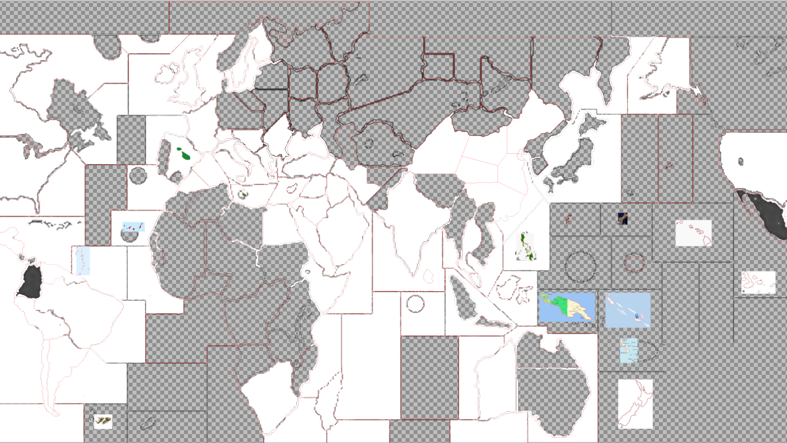
For those unfamiliar, in this game NATO consists of 3 powers: Western Europe (WE), British Empire & Commonwealth (UK), and the United States (US).
This is the 2nd game which TGC has edited together YouTube videos for; you can check those out here:
Soviet opening
NATO turn 1 recap; Soviet turn 2
NATO turn 2 recap; Soviet turn 3
NATO turn 3 recap; Soviet turn 4
Also, check out his channel for videos of our previous game, plus other games – including multiple 1914 playthroughs.
Rounds 1-4 recap
AtlanticRd1:
Soviets sent all subs + 1 fighter against the North Sea; the SZ was cleared without loss, but this meant the subs were stranded without any surface ships for AA cover.
On the counterattack, UK’s fleet + 1 bomber wiped out the surface fleet without loss, while the remainder of their air force attacked the subs, scoring 2 hits. Because WE had moved a transport into the Irish SZ (shipping the lone infantry from Portugal to France) the remaining Soviet sub could only submerge, or retreat to the Batlic; it opted to do the latter.
The US moved their sub (from Iceland) into the North Sea to keep the other sub penned in, and prevent it from being used in concert with any air power against the main NATO fleets.
UK places 2 transports in Ontario; US places 3 transports off the East Coast.
Rd2:
Soviets sent their sub after the Americans’ but opted to retreat back after one round of fire, with neither side scoring a hit. US fighters based in France were able to sink the sub.
Rd1:
The Soviets did the standard “Tokyo Drift” setup. US opted to salvage their sub from the Japan SZ, with the Soviets losing 1 sub and retreating the other to Marcus Island SZ; the US sub at Guam also survived, and retreated to Okinawa SZ to join the other retreating US sub.
Both US subs, both US bombers, and 1 fighter were sent to clear Japan SZ; a cruiser and fighter from the West Coast + the sub at Hawaii were sent to clear Guam SZ. Only 1 sub was lost (in the Japan SZ battle.) US navies grouped up around Guam and Hawaii.
Rd2:
Soviet fighters were sent to sink the lone sub in the Japan SZ; they missed, and the sub opted to submerge in place. This kept the sea lane open for the US transports, for a possible landing in Korea.
The US bombers (which had landed in Japan) were sent against the remaining sub at Marcus Island, along with 1 fighter. The sub was sunk, with 1 bomber moving to Panama and the other moving to the Eastern US to rendezvous with the nuke. A token force was left in the Pacific, with a transport depositing the armor (originally from Okinawa) at the Western US; all other naval assets were moved towards the Panama canal.
Overall losses: USSR: 2 subs, 2 transports, 2 cruisers US: 1 sub, 1 cruiser, 1 battleship Africa / Middle East / Central AsiaRd1:
Soviets do the standard Turkey attack, with only 2 attacking infantry surviving.
WE sends infantry in Africa eastward; armor from Italy is transported to Sudan. The fighter from Indochina lands in Pakistan, along with 2 infantry via transport; the remaining infantry walks forward to Burma. French paratrooper lands in Pakistan. Fighter from France lands on the UK carrier; entire WE and UK Mediterranean fleets are moved to the Red Sea. UK fighter from the Mediterranean goes to Pakistan. WE places infantry in Madagascar and Mozambique.
Cruiser from South Africa moves north, into the Atlantic; infantry move to Mozambique, armor moves to Congo. UK pushes everything forward, from India into Pakistan. All Australian assets are moved to India; Burma’s infantry moves to Indochina to protect from paratroopers based in Siberia. Indian navy moved to Persian Gulf.
Rd2:
Soviets invade Iran with everything from Turkey, Georgia, and Turkmenistan. Soviets move more tanks into Georgia.
WE does no combat this round. Infantry are again moved east, into Sudan; the tank from Sudan is transported to Pakistan, while the 2 infantry placed last round in Africa are also transported to Pakistan. The 2nd WE fighter lands in Pakistan, and their remaining armor is moved from France to Algeria. The bomber moves to New Guinea. WE places in Indochina and Africa.
UK attacks Turkmenistan (1 inf, 1 arm, 2 ftr vs. 1 inf) and captures the territory without loss; all attacking equipment is moved back to Pakistan. Indian units move to Pakistan, Burma infantry to India; the infantry and armor originally from South Africa are transported to Pakistan. Transport at India moves back to Australia; UK subs rally in the Red Sea, carrier moves to Persian Gulf. Paratroopers from Italy are landed in Pakistan.
Rd3:
Soviets counterattack Turkmenistan, pulling their fighters from the far east to do so. They rally their forces in Iran.
WE uses their armor to attack Turkmenistan, and their fighters + cruiser to attack Turkey, losing only 1 infantry in the Turkmenistan battle. Armor in Algeria moves to Sudan. Bomber brings paratrooper from New Guinea to Pakistan. Infantry from Madagascar and Mozambique are again transported in, as well as the 2 infantry that arrived in Sudan last turn.
UK uses paratroopers and fighters from Pakistan to attack Georgia, capturing the territory with only 1 loss. Transports ship infantry from Australia, Ceylon, and Singapore onto the mainland.
Rd4:
Soviets are forced to pull infantry from Romania for an amphibious assault into Turkey. They also counterattack Georgia and Turkmenistan, recapturing all 3 territories at a loss of only 1 infantry. Iran is heavily reinforced, with additional fighters, as well as a heavy armor and bomber.
WE attacks Turkmenistan and Turkey again, but fares much worse in both attacks this time, losing 4 infantry in total but still managing to capture both territories. The French armor finally reaches Pakistan, while the bomber is sent back to Europe. Infantry are placed in Indochina, Madagascar, and Mozambique again.
UK sends 1 infantry to cover the empty Turkmenistan, but otherwise reinforces into Pakistan.
Overall losses: USSR: 17 inf WE: 14 inf, 1 arm, 1 ftr UK: 3 inf Neutral: 2 inf, 1 arm, 1 ftr Europe + MediterraneanRd1:
Soviets do the standard attacks; only 5 infantry remaining in West Germany, 1 in Greece, but all 5 in Norway. Soviets rally in Poland and Romania, as is customary.
WE trades an infantry with the Soviets, over Yugoslavia; the Americans move 1 more infantry in to reinforce. Infantry are placed in France. UK forces move from France to Italy.
Rd2:
Soviets invade Finland (without loss) and counterattack Yugoslavia.
WE infantry are moved from France into Italy, to oppose the new stack in Yugoslavia.
British marines from Canada land in Komi (unopposed) and Norway (w/ naval bombardment). Infantry from Gibraltar and Algeria are landed in France.
US activates the classic shuck-shuck; the US Mediterranean transport arrives in the Irish SZ.
Rd3:
Soviets invade Sweden and Switzerland, losing 3 infantry in each battle; also counterattack Norway and Komi. Soviet forces marshal in Ukraine.
Italians perform the now-infamous bayonet charge into Yugoslavia; 3 infantry killed, taking no losses. UK mops up the remaining infantry in the territory, while also exchanging infantry in West Germany (w/ naval bombardment). South African cruiser reaches the Mediterranean.
Spain joins the war, on the side of the US.
US forces in Italy and France (bolstered by Spanish units) combine to strafe the Soviet stack in Switzerland, regrouping in France; US drops the nuke on West Germany, immobilizing 2 fighters in addition to killing 5 infantry. Arab Outrage leads to the Suez Canal being closed to NATO. US bomber arrives in France from Panama, with 1 paratrooper.
Rd4:
Soviets re-secure Yugoslavia. Soviet forces are consolidated in West Germany and Finland.
WE uses their bomber to help retake Yugoslavia once again.
British armor helps to liberate Switzerland, while the British Mediterranean fleet wipes out the Soviet Black Sea fleet. Royal marines capture an only lightly-guarded Karelia.
US air and airborne forces liberate Norway, against minimal opposition. US marines capture Komi (w/ naval bombardment). Final US transport from the Pacific reaches the East Coast, as the shuck-shuck intensifies.
Overall losses: USSR: 54 inf, 1 trn, 1 sub, 1 crz WE: 12 inf, 2 arm, 1 ftr UK: 6 inf, 1 arm, 1 ftr, 1 sub US: 13 inf, 2 arm, 1 ftr, 1 bmb Neutral: 9 inf, 1 arm, 2 ftr
