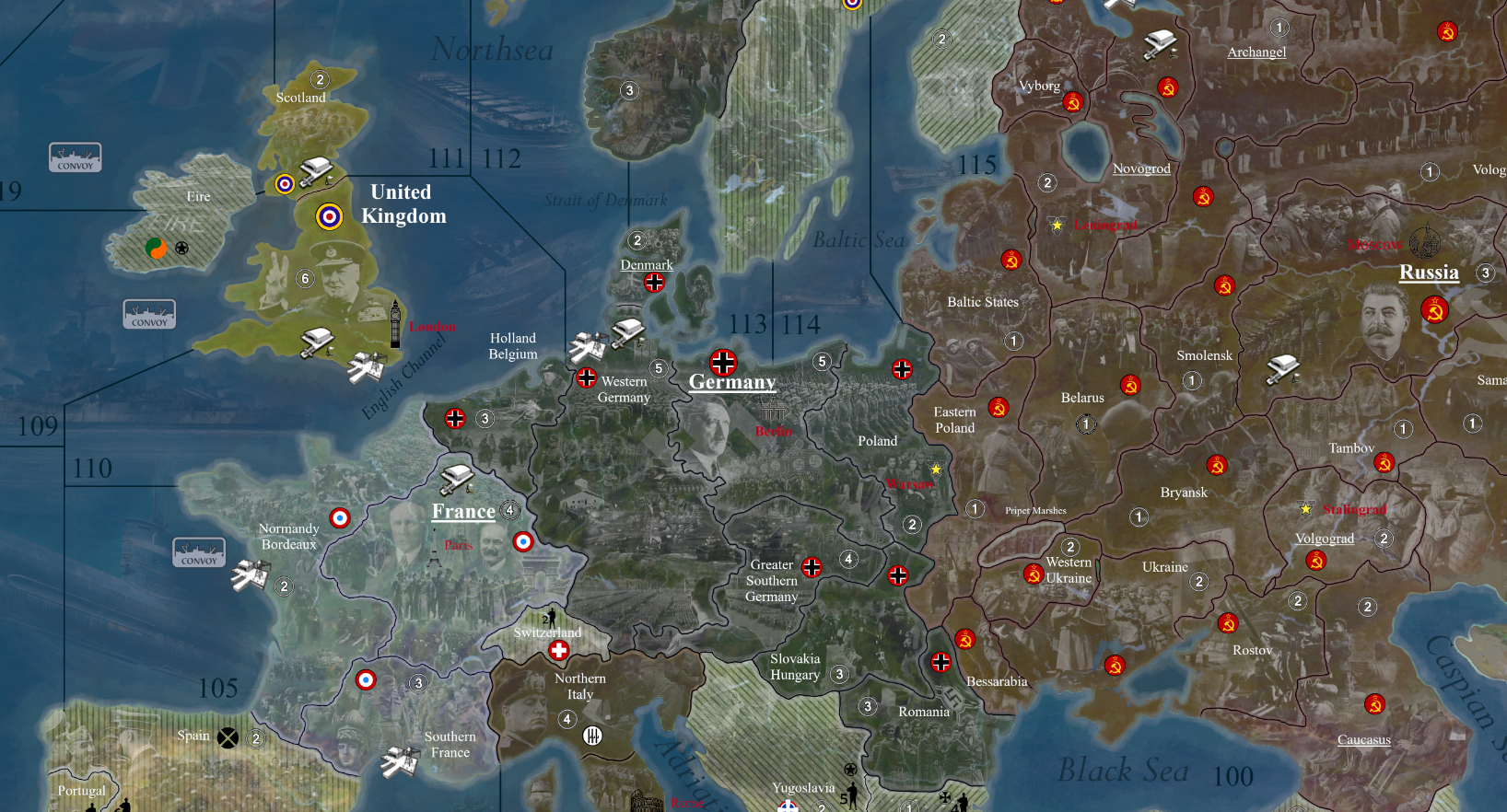
And on a related point: if you look at an online map of the world and place a rectangular sheet of paper on it so that one of its long edges lies on the equator (alternately covering, for purposes of comparison, the bottom half and the top half), you’ll notice that most of the world’s land masses are in the northern hemisphere. All of North America, all of Europe, virtually all of Asia, and much of Africa are located there. The main land masses in the southern hemisphere are South America, the lower part of Africa, Australia, and Antarctica; the rest of the southern hemisphere is mainly water, which means that for A&A map purposes it’s mostly wasted space. Oceania, a.k.a. the Pacific Islands, including Australia and New Zealand, did see significant action in WWII, so its inclusion on an A&A map is quite relavant…but by the same token Antarctica is a land mass that’s traditionally (and with good reason) omitted from A&A maps.
JJ's Axis & Allies Global (detailed) custom map file (for large scale printing) + GIMP brushes
-
Inspired by the beautiful maps that can be found on the internet, I decided to teach myself GIMP and make a map for A&A Global myself. It contains many (historical) details and is therefore intended for large-scale printing. Please let me know if you find any mistakes in it, it was quite a job and then something can go wrong…
v2 released;
- Fixed ocean borders. (thanks to barnee)
- Some fixes in land value symbols.
- Added an extra layer with 4 px black inner borders. (At first I didn’t want too tight boundaries, but after playing with the necessary beer for a while, they turned out to be just a bit too unclear 😁)
- Kamikaze symbols checked and in red color now.
[Download](https://drive.google.com/drive/folders/1qGlOXyLRZ3u1aW7G4wFaux3P8IeZIlkm?usp=sharing)
I also share the GIMP .xcf file so you can play around with the map as you like. In addition also the GIMP brushes you can use to place the several symbols. -
@Lompestein nice job. Scotland should border 109 sz also
-
@barnee Thanks, i’ve adjusted it!
-
Today received the print (1350x2730 mm) I’m prety satisfied with it :) :
Ready to rumble…
-
@Lompestein Poland should not connect to 115.
Map looks Great ! Like the Overlays :)
-
That looks like a lot of love and hard work. Well done! Great to see a new version of the map.
-
L Lompestein referenced this topic on
-
@Lompestein Awesome work! Big thanks for including the .xcf’s and brushes as well, that should help others get a leg-up on their own projects.