Hi all,
It has been a while, busy w/ moving, having kids, work. But since a friend of mine was very anxious to play a big wargame, I decided to finish my Axis & Allies G40 set to get it out for a perfect gaming experience. Please do note that I was first and foremost inspired by the customizations of @Young-Grasshopper and @siredblood blood. We play G40 based on the Halifax ruleset option 2 (one UK and ANZAC combined w/ SA & CA) and the Victory Objectives of YG in stead of the G40 Victory Condition.
Since there was no card-set available to have this combination of rules and for the experience of creating something graphical, I made my own. The set consists of Halifax, Global, Europe and Pacific cards marks in some corner w/ their first letter. The first set was from 2015, but now I finished them with a new design loosely based on the rulebooks w/ the beige and see-though pictures in the background. Here’s some examples:
AAG40 Power-E Russia NO1-H.pdf
AAG40 Power-E-P UK-H NO1.pdf
AAG40 Power-E Italy NO1.pdf
AAG40 Power-E Germany NO1-E-G-H.pdf
AAG40 Power-E France NO1-E-G-H.pdf
AAG40 Generic Order of Play - Halifax.pdf
AAG40 Generic Neutrals.pdf AAG40 Back.pdf
AAG40 RD5.pdf
AAG40 Power-P China Namecard.pdf
AAG40 Power-P China Background.pdf
AAG40 Power-H CW NO2-H.pdf
AAG40 Back.pdf
AAG40 Victory Axis VO3-G-H.pdf
AAG40 Victory Axis VC-P.pdf
AAG40 Victory Allies VO5-G-H.pdf
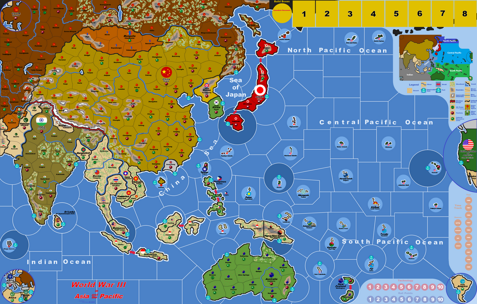
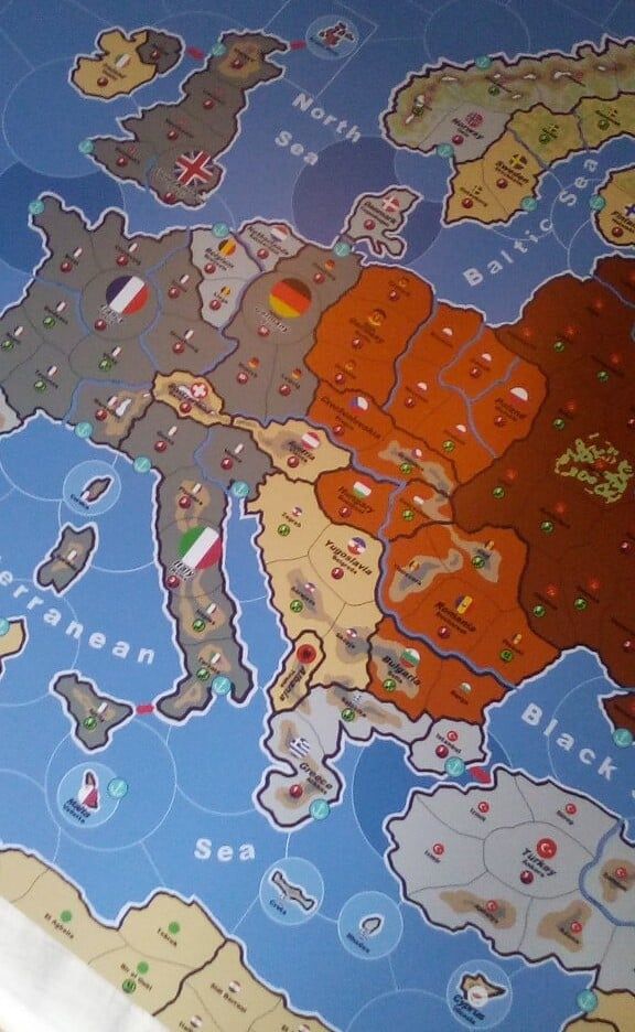
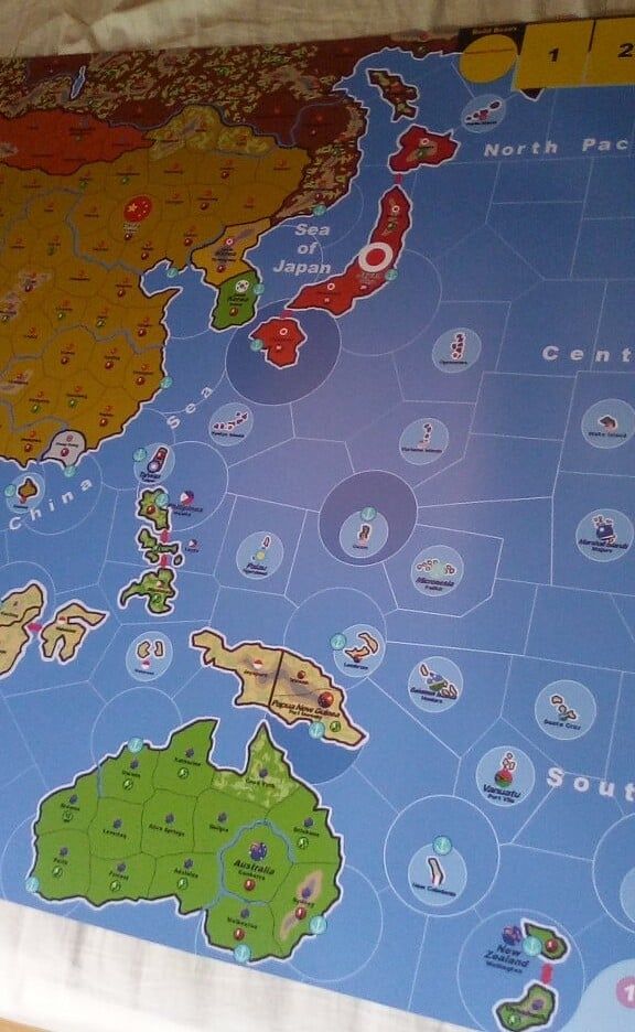
I also made a custom map based on the bare map from YG to replace the UK w/ Commonwealth roundels and some game aids:
Battleboard:
Battleboard R&D v6 - blue.pdf &
Battleboard v7 - blue.pdf
Reasearch and Development board: Too big to upload
Break-out boards: also too big to upload
Furthermore I upgraded and expanded my components w/ stuff from HBG, IWNGU and spielematerial.de. And a very nice First Aid Box from the Swedish Army to store this and AA14:
IMG_20200428_132457.jpg
Well, hopes this gives you some inspiration to go nuts on upgrades :-). Please let me know what you think, if you want to know something about these upgrades of if you want to have the files for the cards (you can have the editable files or printable files w/ bleeds and cutting lines, as well).
Keep on warring…chrz