


Looking for the link to the IPC paper money that was created by sireblood. None of the YouTube videos have the link.
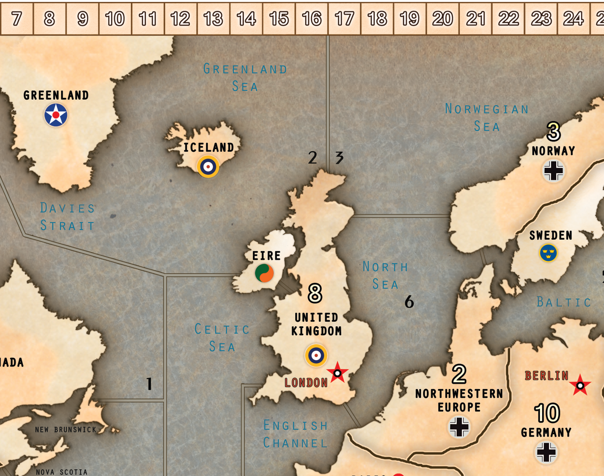
SiredBlood AA50 Map with IPCs & Natl Obj
-
I don’t know about yall, but I’ve been trying to reduce the amount of separate game aids all over the area. Siredblood’s AA50 map is a work of art and took the liberty of adding IPCs and National objectives to the map. Not sure if it’s too cluttered now-- maybe the Natl objectives should be between the IPCs and map. What do you think? First almost perfectly on a 6’x4’ map.
[Artistic credit goes to SiredBlood and BigWatcher]


-
 P Panther moved this topic from Axis & Allies Anniversary Edition on
Suggested Topics


